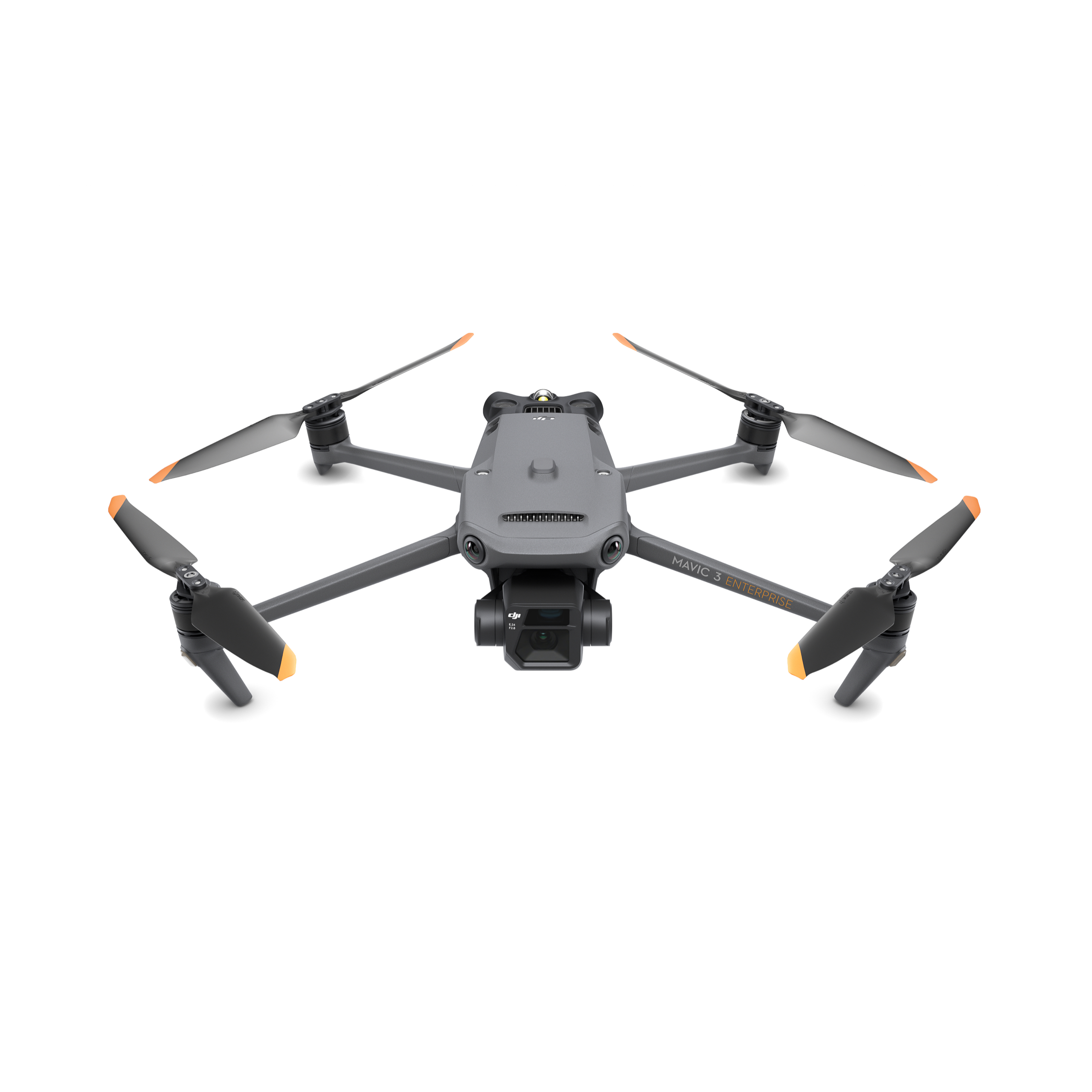
Compact Mapping Platform
DJI Mavic 3 Enterprise
ដ្រូន compact សម្រាប់ mapping, surveying, construction progress និង inspection workflow ដែលត្រូវការដាក់ពង្រាយរហ័ស។
Mapping workflowMechanical shutterRTK ready
ដំណោះស្រាយ DJI Enterprise សម្រាប់ Survey & Mapping, Construction, Thermal Inspection, Security, Energy, Public Safety និង Automated Operations។ MBS ជួយចាប់ពីជ្រើសរើស configuration រហូតដល់ Training និង After-Sales Support។
MBS RC Cambodia ផ្តល់ការប្រឹក្សា ការលក់ និងការរៀបចំដំណោះស្រាយ DJI Enterprise សម្រាប់គម្រោងនៅកម្ពុជា។ Warranty, availability និង service channel នឹងត្រូវបញ្ជាក់តាមផលិតផល និង Quotation នីមួយៗ។

MBS RC Cambodia helps customers select, configure and purchase DJI Enterprise solutions, with local project coordination, technical guidance, training and after-sales follow-up.
ជ្រើសរើស aircraft តាមការងារពិត។ MBS អាចជួយរៀបចំ drone, accessories, payload, software និង service package ជាមួយគ្នា។
ដ្រូន compact សម្រាប់ mapping, surveying, construction progress និង inspection workflow ដែលត្រូវការដាក់ពង្រាយរហ័ស។
ម៉ូឌែលសម្រាប់ geospatial workflow ដូចជា surveying, mapping, construction និង mining។
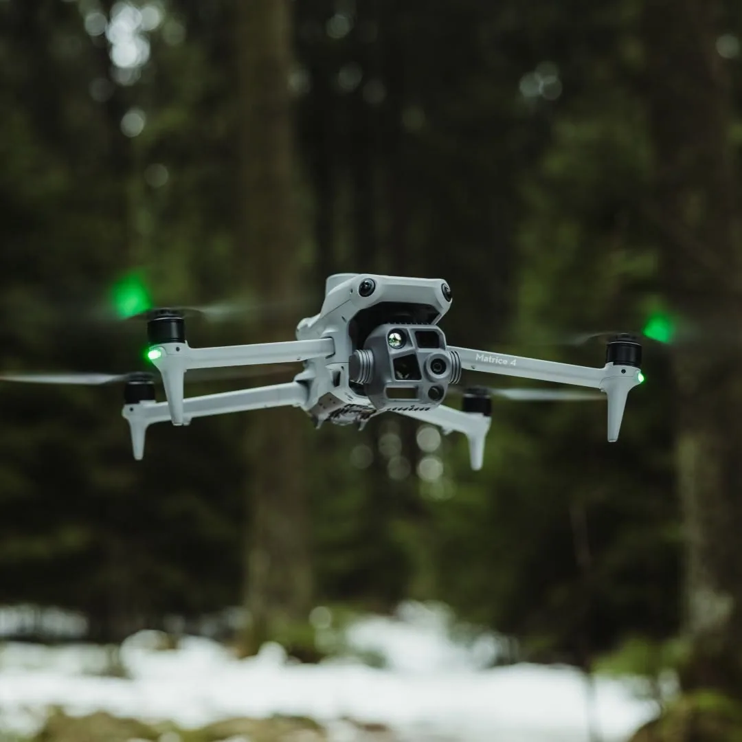
សម្រាប់ electricity, emergency response, public safety, forestry និង inspection ដែលត្រូវការមុខងារ multi-sensor/thermal។
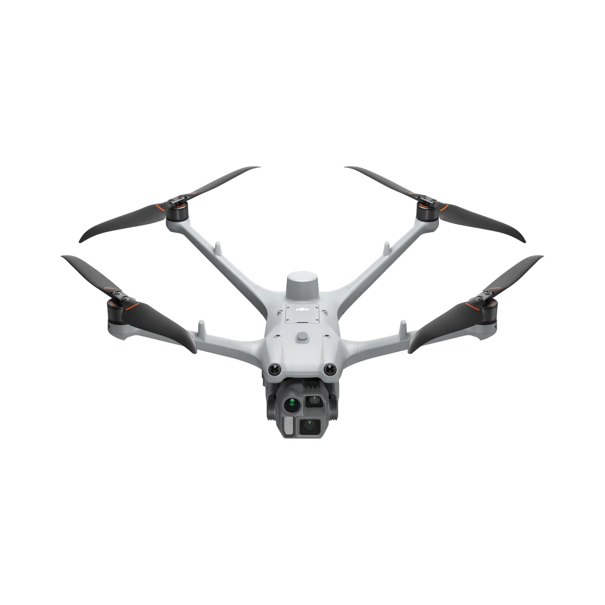
Designed for DJI Dock 3 workflows and also usable with DJI RC Plus 2 Enterprise for standalone enterprise operations.
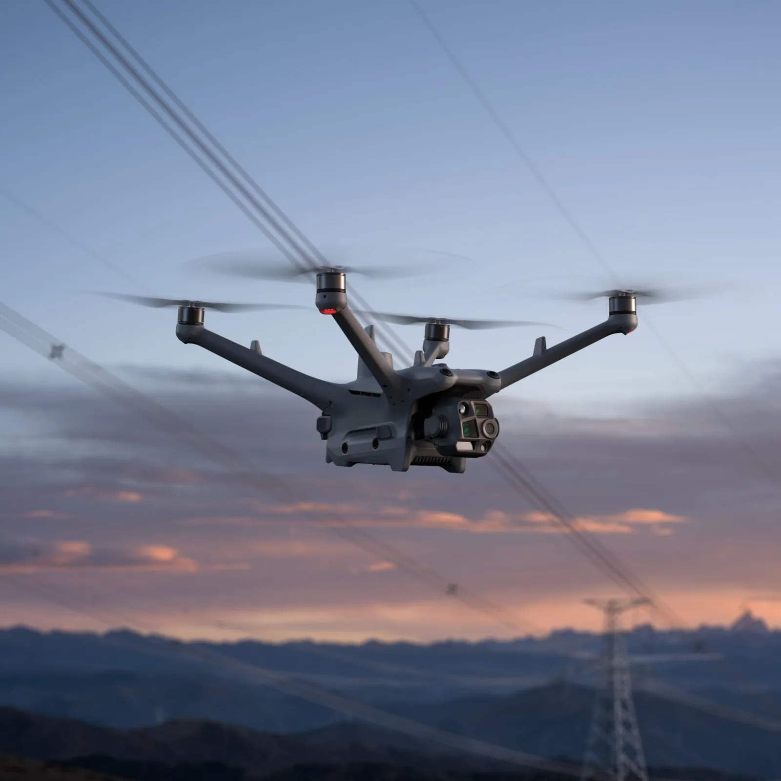
Thermal-capable Matrice 4D Series aircraft for automated monitoring, inspection, security and emergency applications.
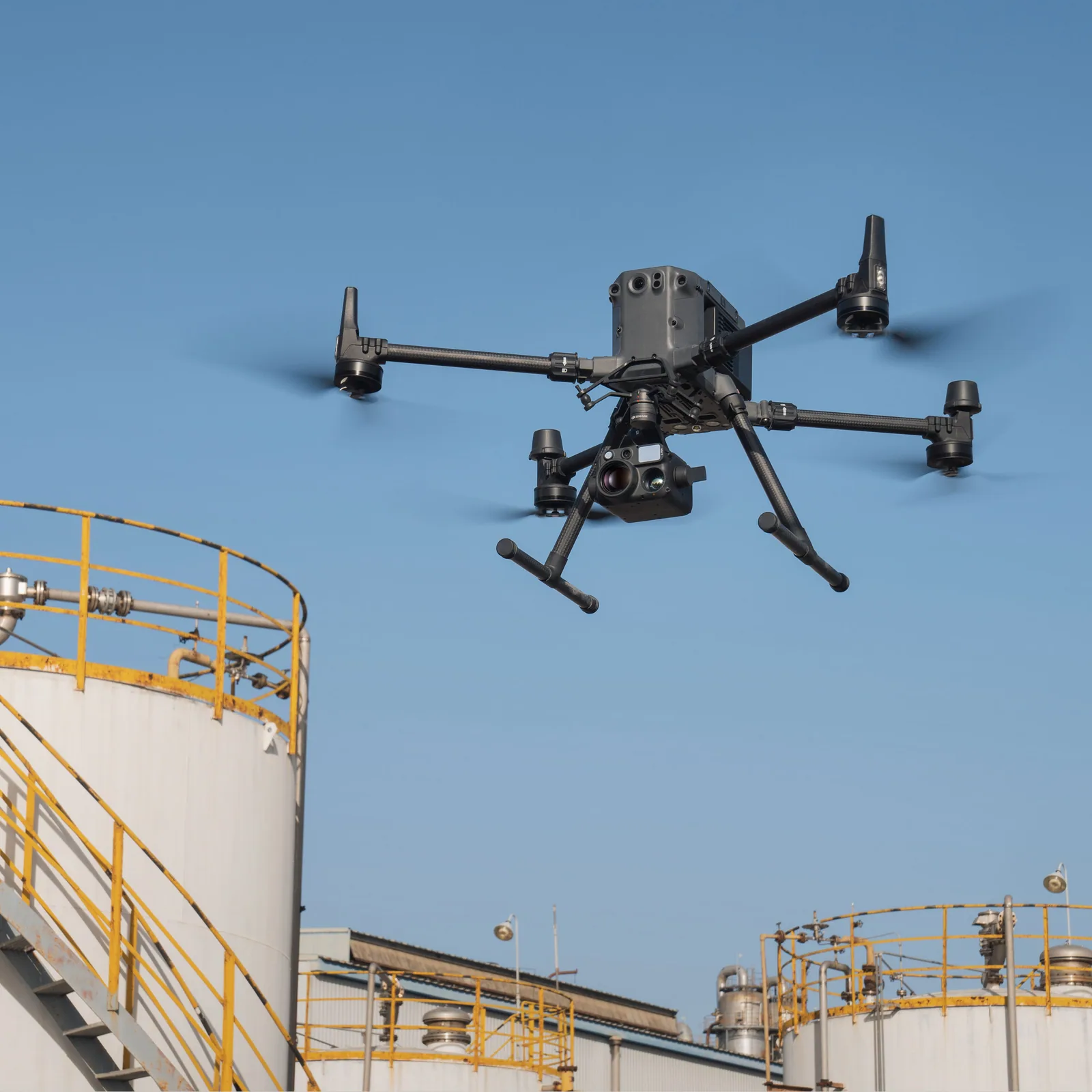
ឧបករណ៍ហោះហើរសម្រាប់ inspection, public safety, mapping និង mission ដែលត្រូវការប្រើ payload ច្រើនប្រភេទ។
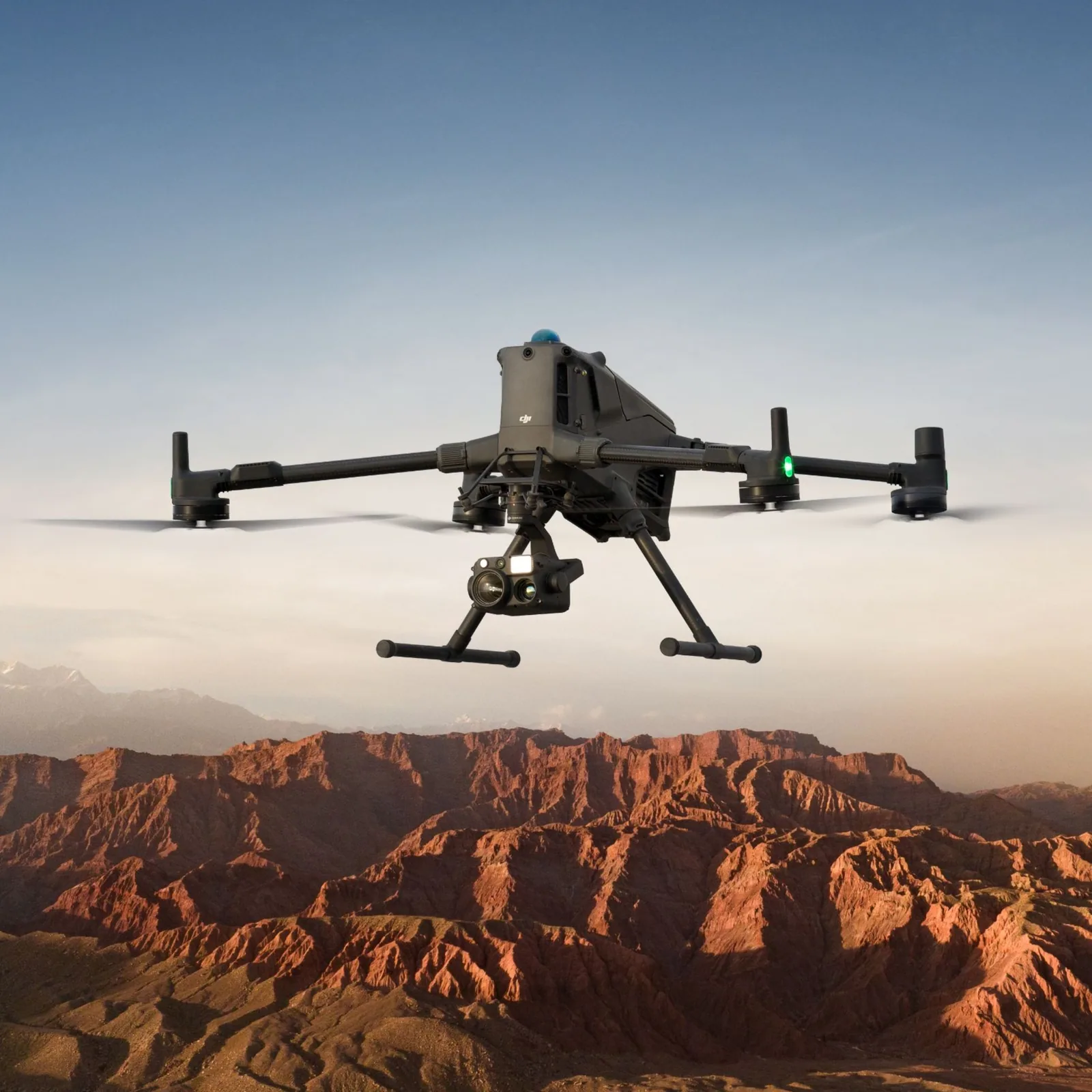
Platform សម្រាប់ mission ធំៗដែលត្រូវការរយៈពេលហោះយូរ សមត្ថភាពដឹក payload ខ្ពស់ និងការប្រើ payload ឯកទេស។
សម្រាប់ patrol, inspection និង recurring missions ដែលត្រូវការប្រតិបត្តិការពីចម្ងាយ និង workflow ជាប្រចាំ។
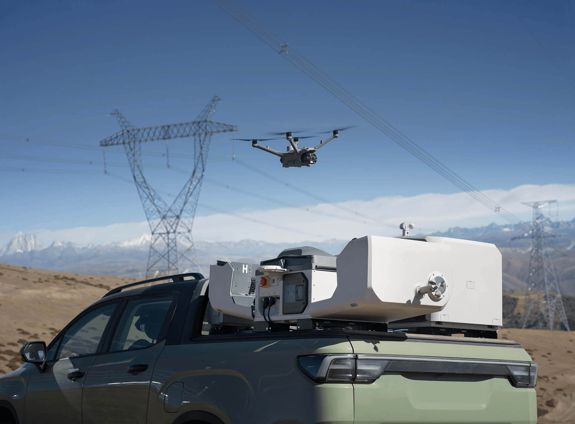
Supports remote operations and mobile vehicle-mounted deployment with Matrice 4D / 4TD for flexible enterprise missions.
Payload compatibility ត្រូវពិនិត្យតាម aircraft និង project មុនពេល quotation។ MBS នឹងជួយរៀបចំ configuration ដែលសមស្រប។
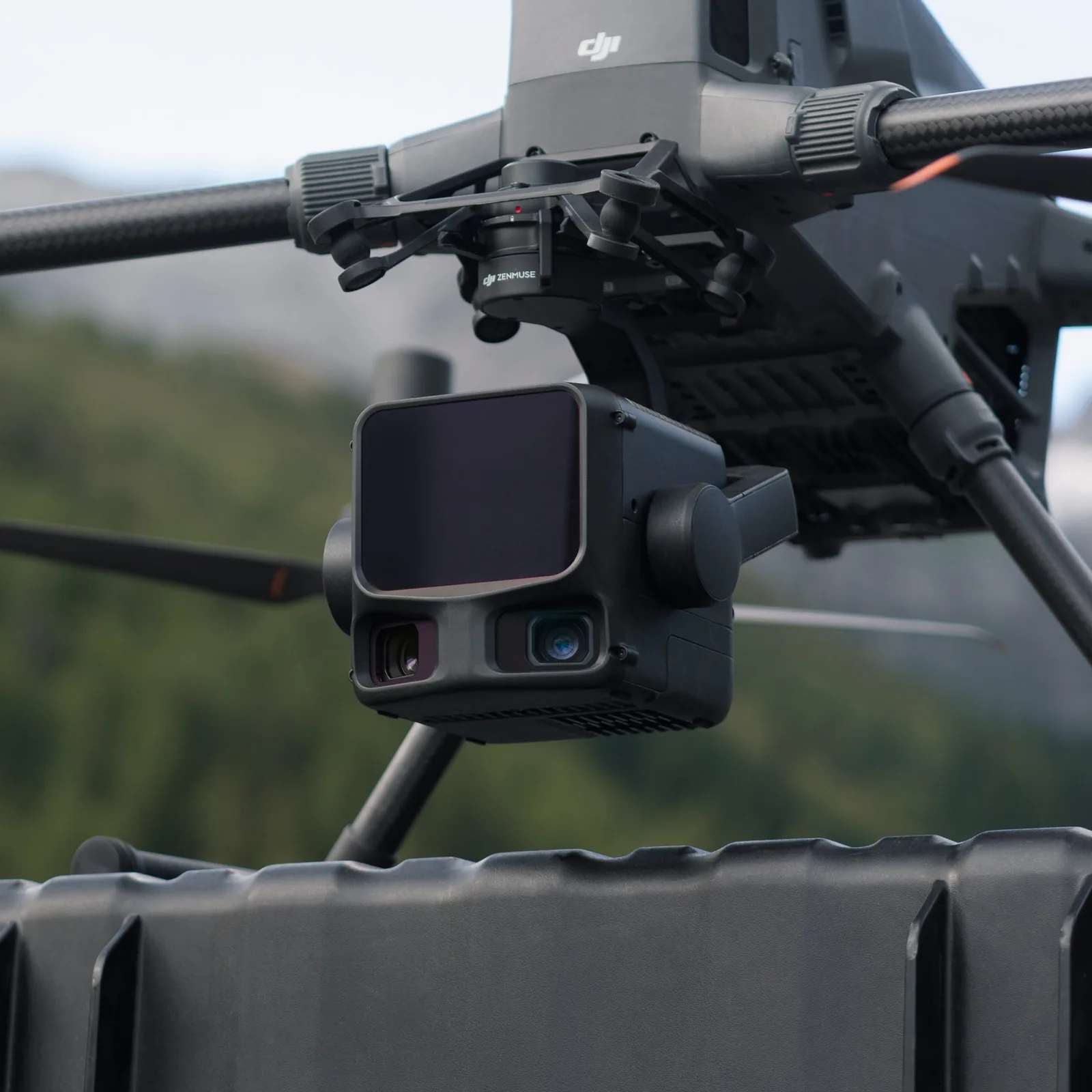
ពី thermal និង zoom imaging ទៅ LiDAR, photogrammetry, spotlight និង speaker — payload ជួយបម្លែង drone platform ឲ្យសមនឹងការងារជាក់លាក់។
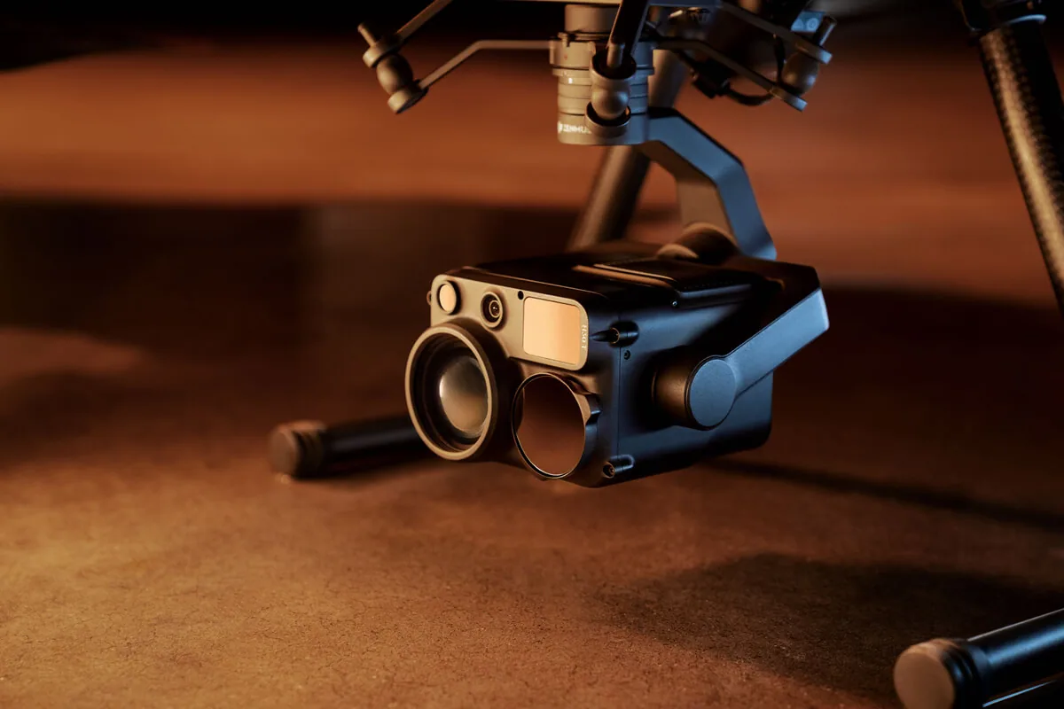
Multi-sensor imaging សម្រាប់ការត្រួតពិនិត្យ។ Thermal imaging មានតែ H30T ប៉ុណ្ណោះ / Thermal imaging: H30T only.
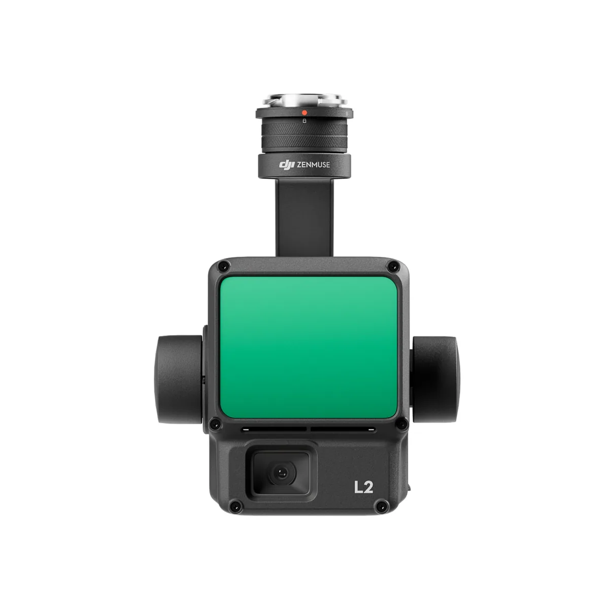
LiDAR data collection និង point-cloud mapping workflow.
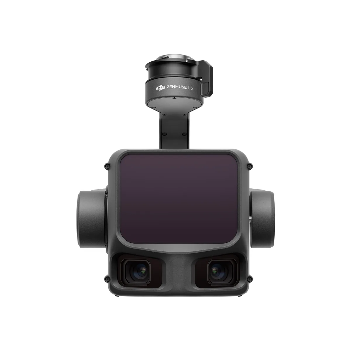
Next-generation aerial LiDAR សម្រាប់ geospatial និង high-accuracy mapping workflows.
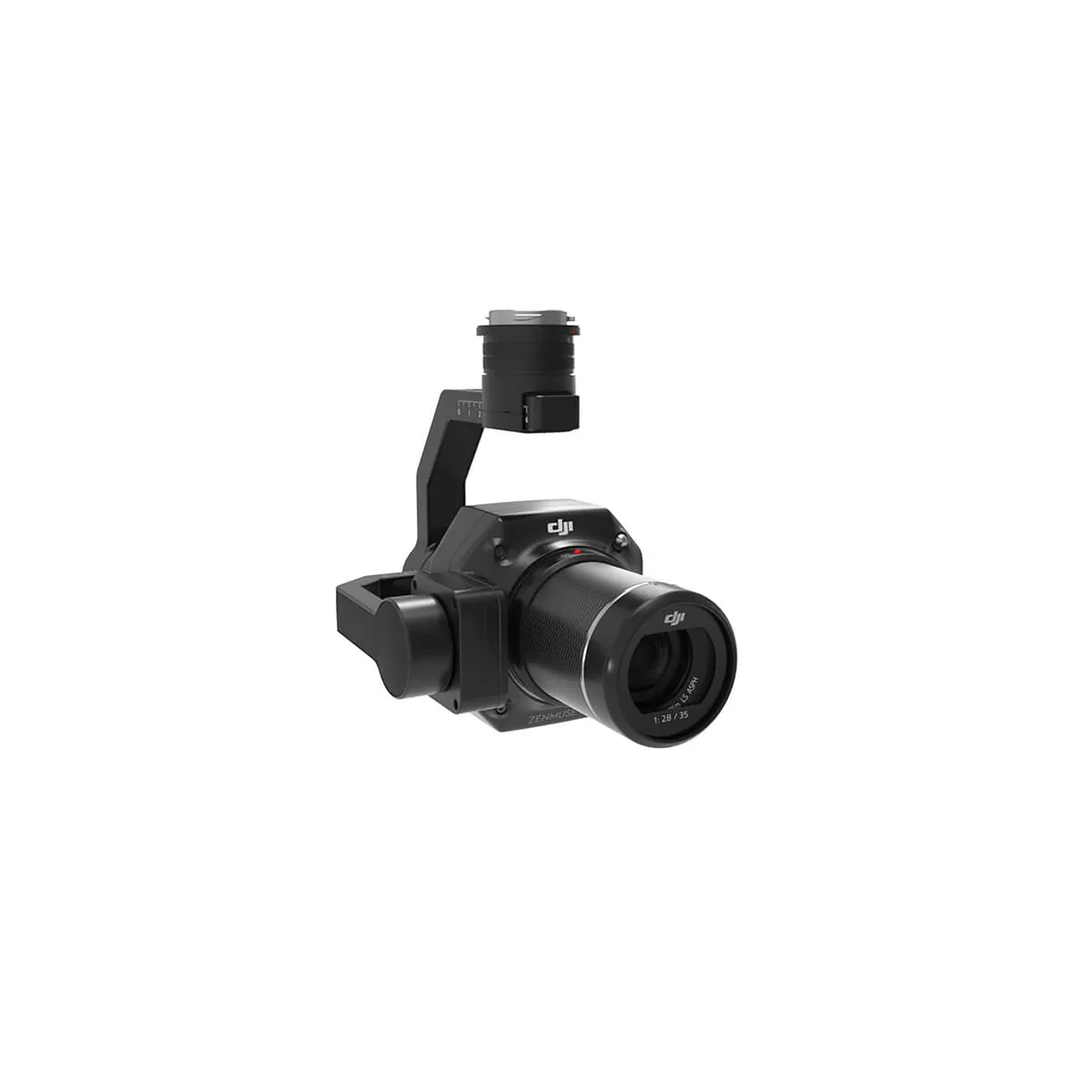
Full-frame photogrammetry payload for aerial surveying.
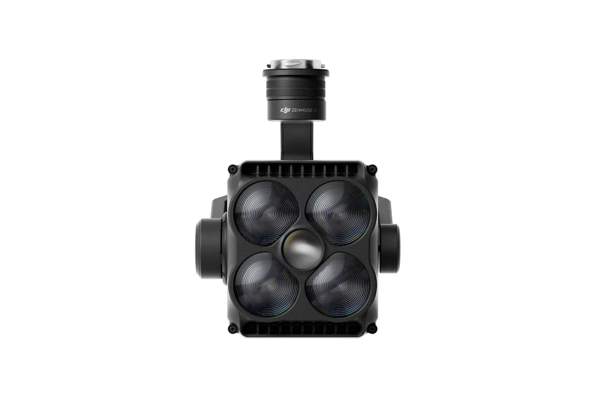
Spotlight payload សម្រាប់ low-light និង nighttime missions.
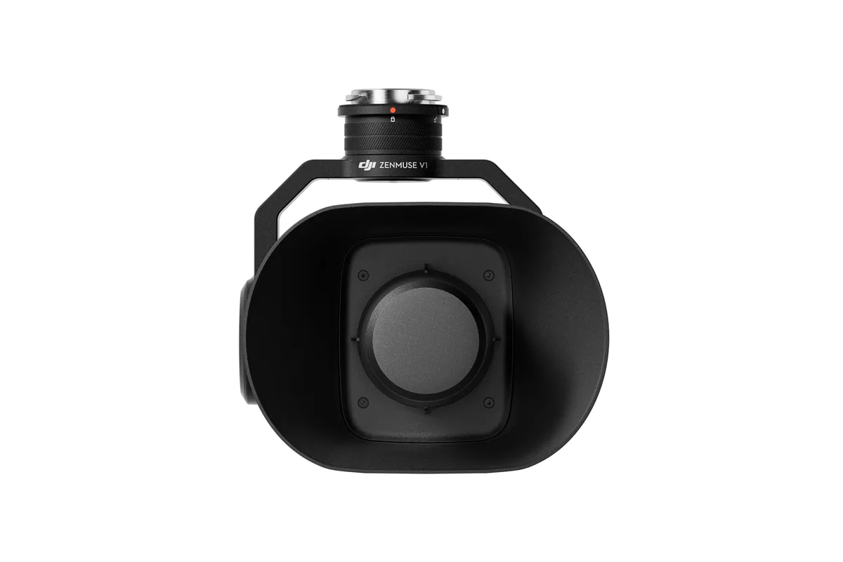
Speaker payload សម្រាប់ communication និង public-safety workflows.
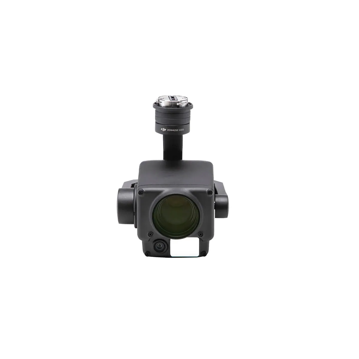
Multi-sensor imaging for inspection and public-safety applications.
ទាក់ទង MBS ដើម្បីពិនិត្យ availability និង compatibility តាម aircraft និង project។
មិនចាំបាច់ដឹងមុនថាត្រូវការម៉ូឌែលណាទេ។ ប្រាប់យើងពីការងារ ទីតាំង និងលទ្ធផលដែលអ្នកចង់បាន។
Topographic survey, mapping, 3D model និង land/site data collection.
Progress monitoring, earthwork measurement, site inspection និង documentation.
Solar, electrical, facility និង infrastructure inspection.
Factory, tower, roof, pipeline និង difficult-access infrastructure.
Perimeter monitoring, patrol និង recurring observation missions.
Power infrastructure, solar និង scheduled inspection workflows.
Situational awareness, search និង qualified emergency-response support.
Dock-based remote missions, recurring inspection និង centralized operations.
Download the current MBS brochure for a quick customer-facing overview.
សម្រាប់តម្លៃ, Demo, Project Consultation, Product Configuration ឬ Training សូមទាក់ទង MBS RC Cambodia។